|
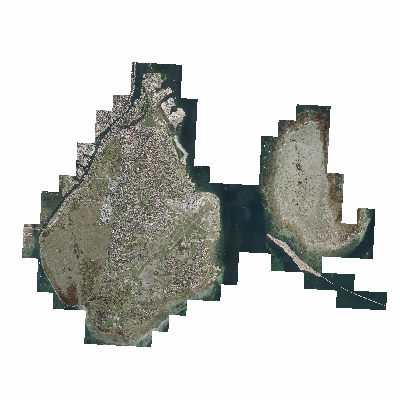
Width: 400 Height: 400 Extent:
YMin: 7463883.001845484 XMax: 1430712.2145505405 YMax: 7506309.024197528 Spatial Reference: 102100 (3857) LatestVCSWkid(0) Scale: 400874.99999999773 |
| ArcGIS REST Services Directory | Login | Get Token |
| Home > services > Foto > Luftfoto2018_WGS84 (MapServer) > export | API Reference |

|
Width: 400 Height: 400 Extent:
YMin: 7463883.001845484 XMax: 1430712.2145505405 YMax: 7506309.024197528 Spatial Reference: 102100 (3857) LatestVCSWkid(0) Scale: 400874.99999999773 |