|
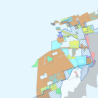
Width: 400 Height: 400 Extent:
YMin: 6167139.220369579 XMax: 728855.0054353136 YMax: 6172854.231799602 Spatial Reference: 25832 (25832) LatestVCSWkid(0) Scale: 53999.999999999156 |
| ArcGIS REST Services Directory | Login | Get Token |
| Home > services > Plan > lokalplaner_planafd (MapServer) > export | API Reference |

|
Width: 400 Height: 400 Extent:
YMin: 6167139.220369579 XMax: 728855.0054353136 YMax: 6172854.231799602 Spatial Reference: 25832 (25832) LatestVCSWkid(0) Scale: 53999.999999999156 |