|
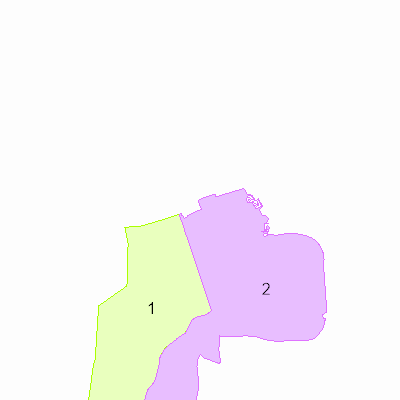
Width: 400 Height: 400 Extent:
YMin: 6166705.325937583 XMax: 733921.7617463737 YMax: 6178101.393030331 Spatial Reference: 25832 (25832) LatestVCSWkid(0) Scale: 107679.15874595627 |
| ArcGIS REST Services Directory | Login | Get Token |
| Home > services > TekSek > Skorstensfejer (MapServer) > export | API Reference |

|
Width: 400 Height: 400 Extent:
YMin: 6166705.325937583 XMax: 733921.7617463737 YMax: 6178101.393030331 Spatial Reference: 25832 (25832) LatestVCSWkid(0) Scale: 107679.15874595627 |